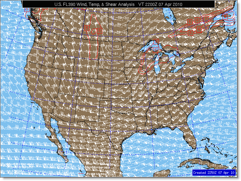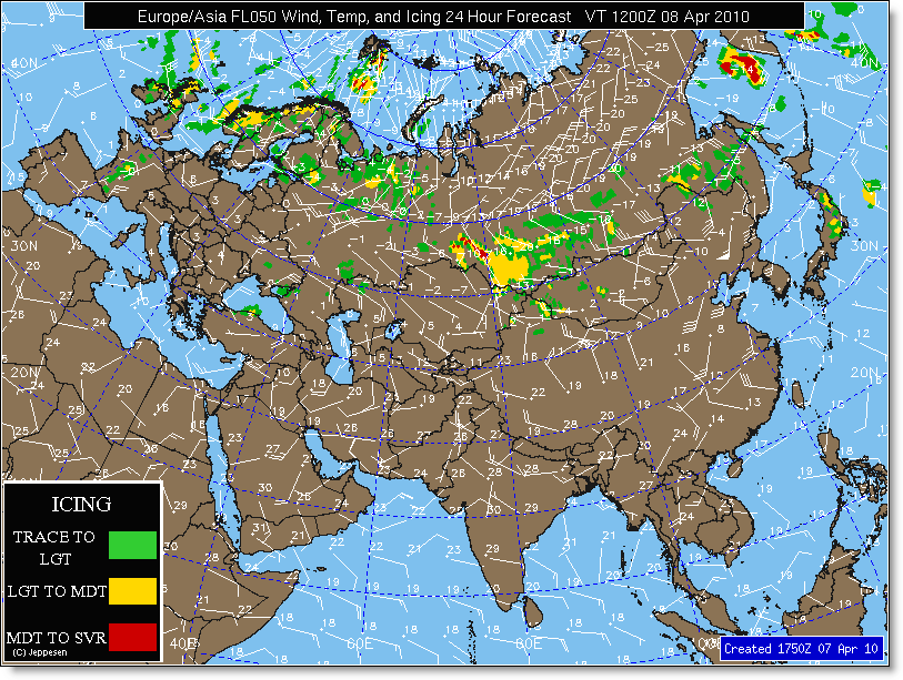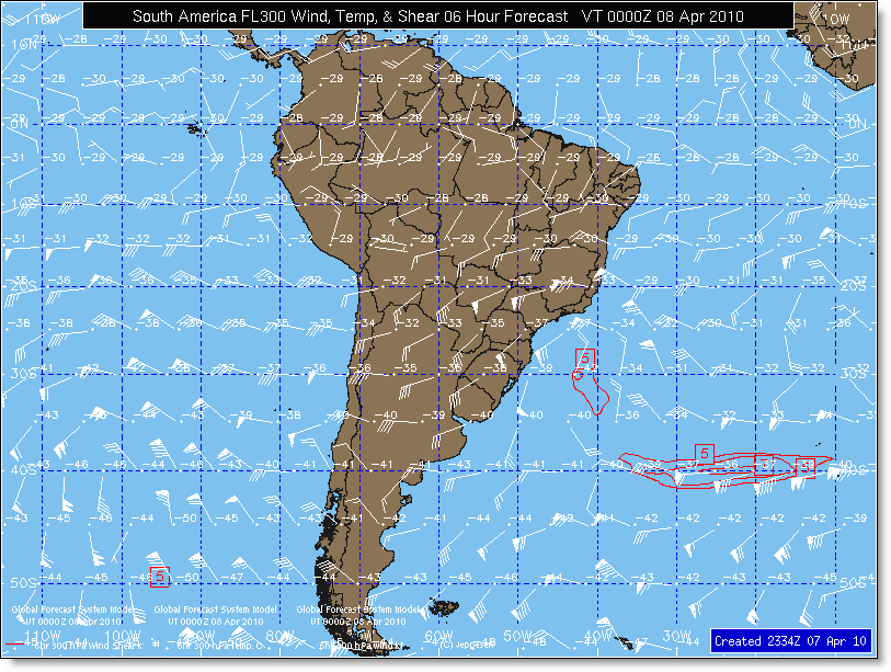
Upper Level Wind & Temp maps are created for the following forecast periods for the following geographic regions:
Every hour for analysis, 6/12-hour forecast every 3 hours from WRF
Every hour for analysis, 6/12/18/24/30/36/42/48/60/72-hour forecast every 6 hours from WRF
6/12/18/24/30/36/48/60/72-hour forecast every 6 hours from GFS
Forecast models are generated at the following atmospheric levels:
Altitude |
Pressure |
FL050 |
850 mb |
FL100 |
700 mb |
FL180 |
500 mb |
FL240 |
400 mb |
FL300 |
300 mb |
FL340 |
250 mb |
FL390 |
200 mb |
FL450 |
150 mb |


The map depicts the analysis or forecast of upper level winds and temps. Wind speed and direction is depicted using standard wind flags. Wind speed is calculated by adding all of the shaded triangles (50 kts each) and barbs (10 kts for full barb and 5 kts for half barb) on each flag. For example, two triangles and one barb would represent a wind speed of 110 kts. Wind direction is determined by the orientation of the flag. Wind is blowing from the tail of the flag (where flags are) to the head of the flag (where dot is).
Wind flags are positioned at the optimum resolution for the map area. Most flags are placed every 2.5 degrees of latitude (150 nm) and longitude. For smaller geographic regions such as the regional U.S. maps, flags are placed every 75 nm.
Temperature is depicted at various wind flag heads. Temperature is in degrees Celsius and is preceded by a minus sign if the temperature is negative.
Maps are created based upon the availability of numerical model data used to generate the map. Most maps are generated based upon the model data output at 0000, 0600, 1200 and 1800 UTC. Some maps are created more frequently if the data is available more often. The primary numerical model data comes from the U.S. National Weather Service, with backup data provided by the U.K. Met Office.