Raster charts are electronic copies of paper charts, created by digital scanning. They contain only the information on the printed version, and are updated only by scanning a newer version of the printed chart. Raster charts are sold by region on CD-ROM. For information on regional coverages, visit our website at http://www.jeppesen.com, or call (800) 621-5377 (Western Hemisphere) or +49 6102 50 8250 (Eastern Hemisphere).
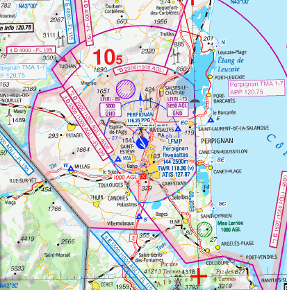
FliteStar also displays other chart formats used by major chart producers including Maptech, NDI, and PinPoint Systems. An example of Jeppesen's VFR+GPS raster charts appears below.
This section contains the following topics: